 |
 We can take GPS points of the area or corners.
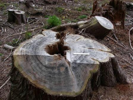
 Our cruisers collect data on sorts, grades, and defects.
 Our comprehensive and accurate measurements result in detailed and informative inventory reports.
|
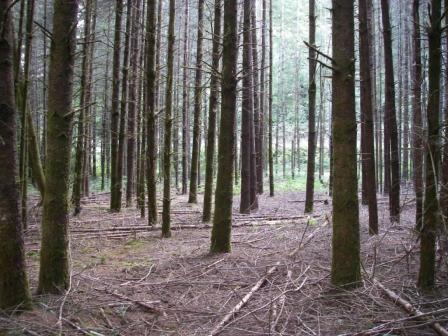
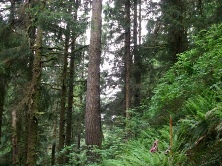
Timber Cruising and Forest InventoryAtterbury Consultants, as a company, has been timber cruising in the Pacific Northwest for over 20 years. We have a tremendous amount of experience with virtually all cruising conditions. Our timber cruisers are continually trained to select the best sampling system for each stand they cruise. We ensure that our clients receive accurate cruise reports with reliable volumes and complete information. We use imagery and GIS data to create type maps and analyze the cruise area (see GIS Mapping and Analysis). With this information we determine plot location and density, which is then added to the type map and also exported as GPS points for the cruiser. Because of our prior planning and preparation, our cruisers are familiar with the terrain before going to the field and can perform their tasks in a more efficient manner. In addition to carrying modern GPS units, our cruisers are equipped with laser rangefinders, electronic data collectors, and either a Relaskop, or RD1000. They also carry a waterproof digital camera for additional detailed data collection. Our cruisers are highly trained in data collection techniques and are proficient with both our timber cruise report software and field data collection software that we have developed (see SuperACE and Pocket SuperEASY). The combined effect of advanced planning, modern technology and proper training yields reliable reports that can be used for making timberland management and financial decisions. |
Inventory
Proper Tools
Data Collection
Report Generation
|
||||||||
|
Contacts for Timber Cruising and Inventory Determination
|
||||||||
| All Site Contents ©, Atterbury Consultants, Inc. 2023 |