The M-1200E can connect with Bluetooth or a USB cable. 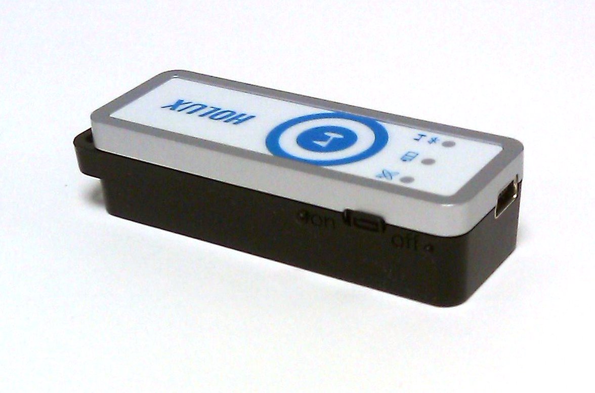
|
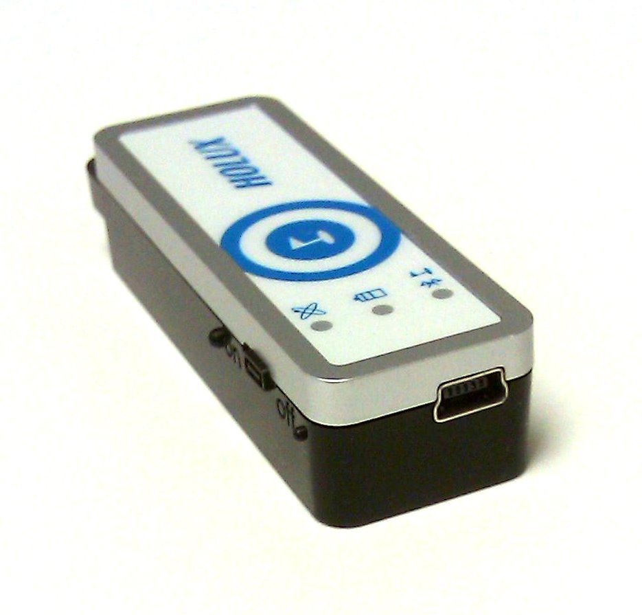
HOLUX M-1200E GPS UnitThe HOLUX M-1200E Wireless GPS Logger allows users to store up to 200,000 GPS coordinates. The data can be analyzed by uploading to a computer through its USB or Bluetooth connection. Once the digital images are integrated, the tracking history and the location the images were taken can be shared through ezTour or Google Earth.
ezTour Software
|
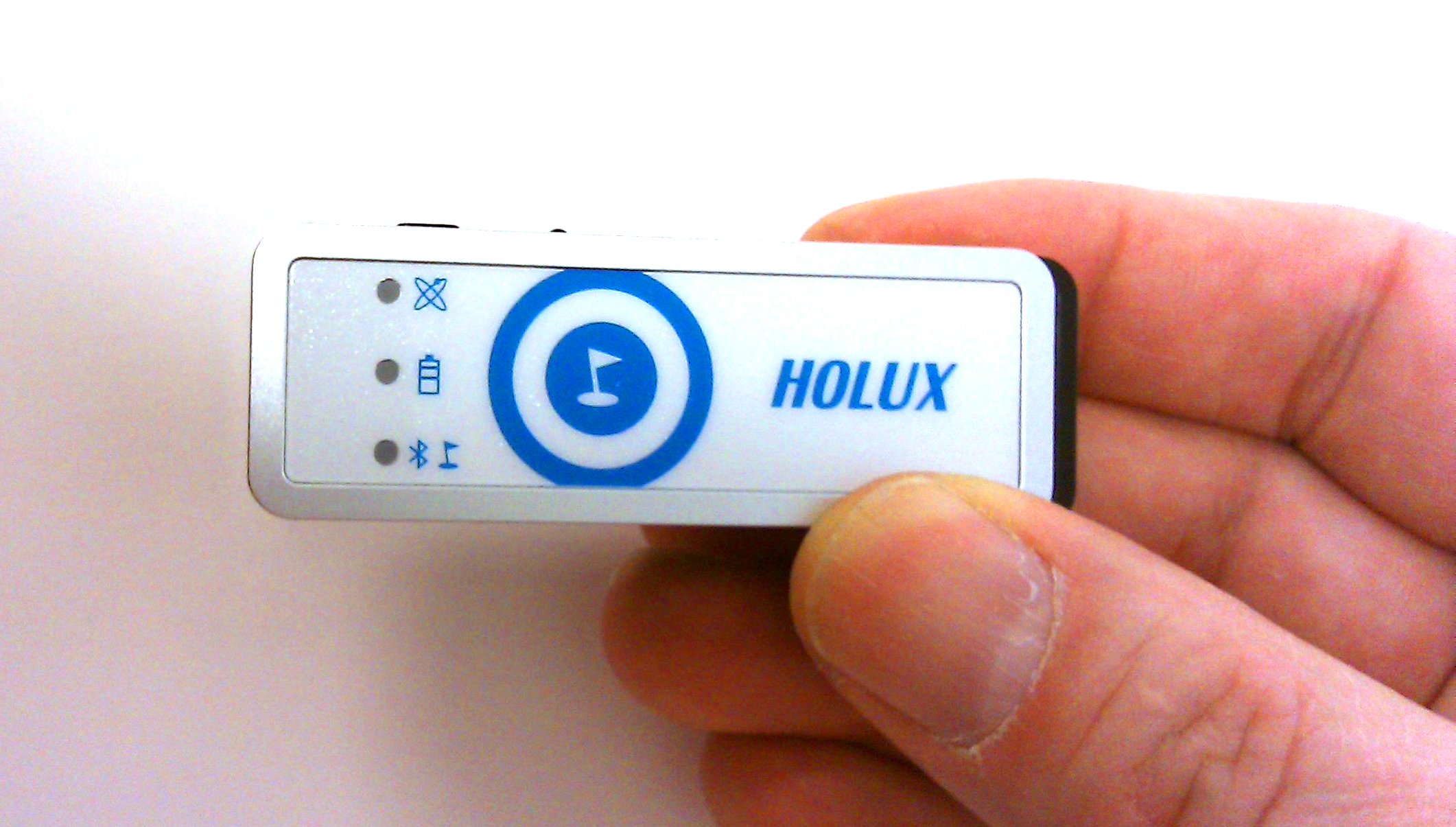
The HOLUX M-1200E is small and lightweight. 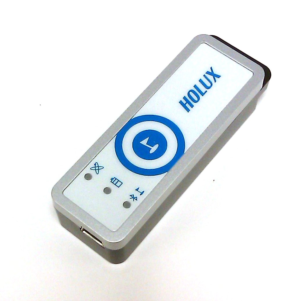
How to Determine Acres for 100 bucks with the Holux M-1200E |
||||||||
|
Contacts for GPS Equipment
|
|||||
| All Site Contents ©, Atterbury Consultants, Inc. 2023 |