|
 ArcGIS 10.x
ArcMap:
The desktop application for all map-based tasks including cartography, map analysis, and editing.
ArcCatalog:
Browse, manage, create, and organize your geographic and tabular data.
ArcToolbox:
An application containing many GIS tools used for geoprocessing. ArcToolbox for ArcView and ArcEditor contains 36 commonly used tools for data conversion and management.
|
|
|
|
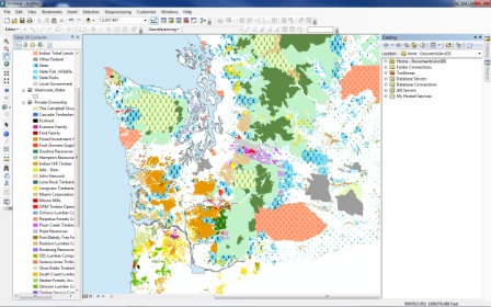
ArcGIS Desktop Mapping Software
ArcGIS 10.x is designed with an intuitive Windows user interface and includes Visual Basic for Applications for customization.
ArcGIS 10.x consists of three desktop applications:
- ArcMap
- ArcCatalog
- ArcToolbox
ArcMap provides data display, query, and analysis.
ArcCatalog provides geographic and tabular data management, creation, and organization.
ArcToolbox provides basic data conversion. Using these three applications together, one can perform any GIS task, simple to advanced, including mapping, data management, geographic analysis, data editing, and geoprocessing.
|
|
|
|
Advantages
- Visualize--seeing patterns that could not be seen before, revealing hidden trends and distributions, and gaining new insights.
- Create--maps to convey your message.
- Solve--working geographically lets you answer questions such as "Where is..?", "How much..?", and "What if..?".
- Present--showing the results of your work is easy. You can make great-looking publication-quality maps and create interactive displays that link graphs, tables, drawings, photographs, and other elements to your data.
- Develop--the ArcMap customization environment lets you tailor the interface to suit your needs or the needs of your organization.
|
|